 ANGELES CREST HIGHWAY  WRIGHTWOOD SNOW PLAY  MH SLEDS 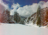 OUTDOOR REPORT 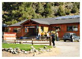 MOUNTAIN HARDWARE |
Hike WrightwoodBuckhorn to Mt. WatermanThis is a pleasant hike through open pine and fir forest any time of the year that snow conditions permit. The mountain top is so broad and long that there are three summits. The highest, and the one with the best view of most of the San Gabriel range, is about a quarter mile off the trail on the southwest portion of the mountain. Note where you leave the trail so you can find your way back. Bighorn Sheep are seen in this area, as well as smaller animals and numerous birds. During summer, the long cones (up to 18 inches) hanging from sugar pine branches make a spectacular scene.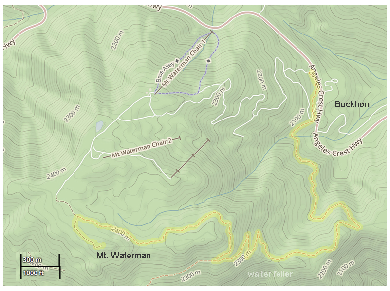
7 miles round trip. Elevation gain: 1,300 feet Difficulty: Moderate Topo Map: Waterman Mountain 3.5 miles from the Angeles Crest Highway, at Buckhorn, is the broad U-shaped top of Mt. Waterman, 8,038 foot elevation. A well-graded trail begins on the uphill side of the highway near Buckhorn Ranger Station and west of the Buckhorn Campground entrance road. A National Forest Adventure Pass is required to be displayed on vehicles parking at the trailhead. Mt. Waterman was named for Liz Waterman, wife of Bob Waterman. In 1889, the Watermans, along with Perry Switzer, made a week-long trek across the wild San Gabriel Mountains, climbing Mt. Waterman as part of their trip. The mountain being unnamed, Bob named it “Lady Waterman” for his wife, but the “Lady” part was dropped when it was put on the map. buckhorn-mt.waterman.html |
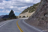
Angeles Crest Highway Buckhorn Campground
|