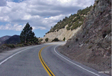
 ANGELES CREST HIGHWAY  WRIGHTWOOD SNOW PLAY  MH SLEDS 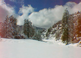 OUTDOOR REPORT  MOUNTAIN HARDWARE |
Hike WrightwoodCharlton Flat to Mt. Mooney & Devil's PeakThese are two short, separate hikes to adjacent peaks. Both are short walks up an open ridge line to the top. There is no regular trail to either peak, but the climb is short and not difficult.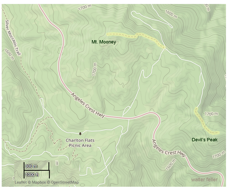
1.5 miles round trip. Elevation gain: 250 feet Difficulty: Easy Topo maps: Chilao Flat and Waterman Mountain Mt. Mooney is at the edge of Charlton Flat. It has a rounded, partly forested top with views over Charlton Flat and part of the San Gabriel Mtn. range. There is a fine, open pine forest over gently rolling terrain from the top northward. Devil’s Peak is about a mile S.E. of Mt. Mooney. It is a high point overlooking Devil’s Canyon and the rugged area around Twin Peaks, with views of many peaks and canyons of the San Gabriels. On the way up the ridge from a dirt road, you will pass through a small forest of Coulter Pines. While Coulters are rather small as pine trees go, their cones are spectacular - the largest of all pine cones. They are not a rare tree, but their range is limited. Enjoy this walk through one of the best concentrations of these interesting trees. To reach both these peaks, take the dirt road off Angeles Crest Highway, about a hundred feet northwest of the Charlton Flat entrance road. Follow this road about a mile up to a wide spot on the ridge top where the road forks, and park. A National Forest Adventure Pass is required to be displayed on your vehicle when parked at the trailhead. Walk up the open ridge line to your left (N.W.) to the top of Mt. Mooney. Mt. Mooney was named for a Ranger who lost his life fighting in World War I. After returning to your car, take the right fork (South) past a small astronomical observatory to a small pass on the ridge line, about one mile. Hike up the ridge to your left (S.E.) about .5 mile, through the small forest of Coulter pines to the top of Devil’s Peak. The peak is a survey triangulation point and was named for its overview of Devil’s Canyon. It is on the Sierra Club’s list of 100 peaks in So. California. Both peaks may be climbed in a couple of hours’ time, but you may want to stay longer to enjoy the views and observe the bird and plant life. charltonflat-mt.mooneytrl.html |
|